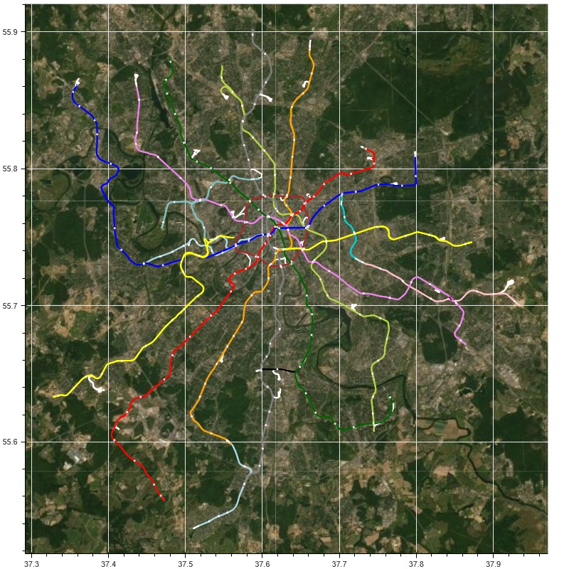
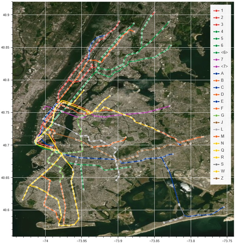
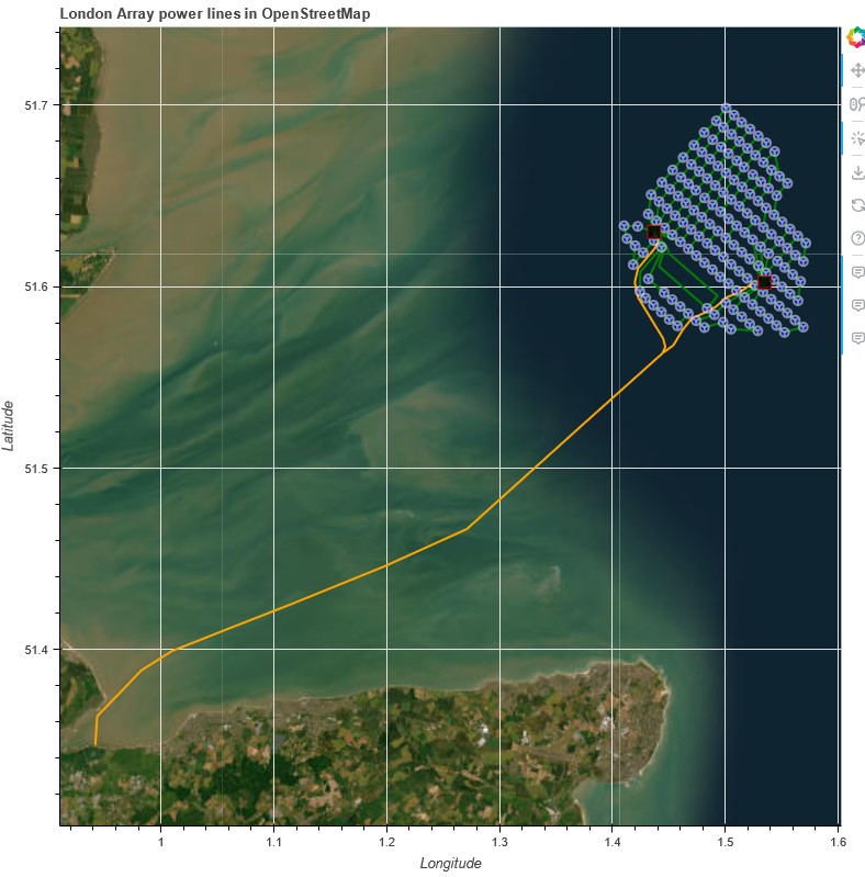
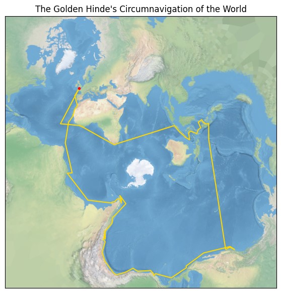
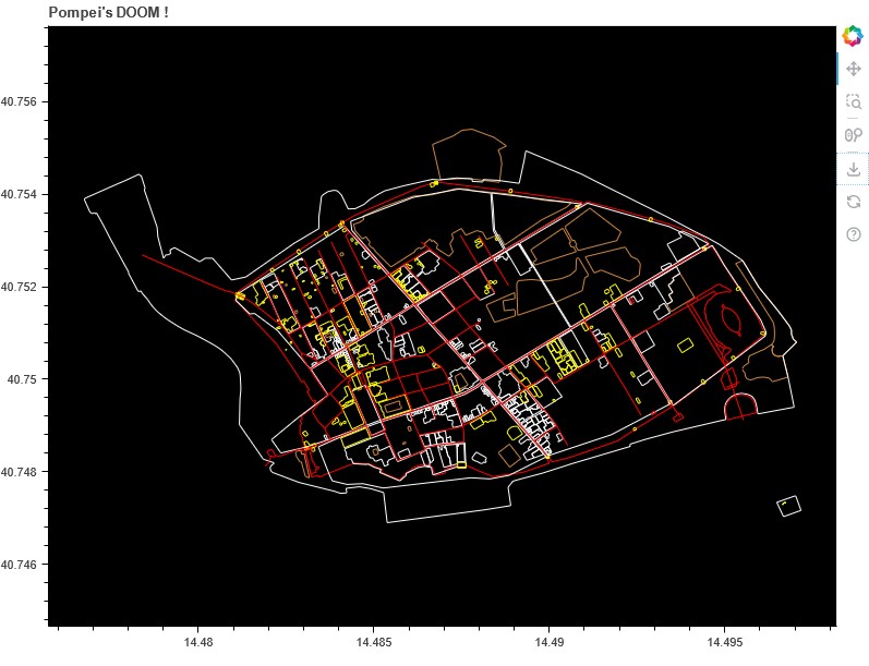
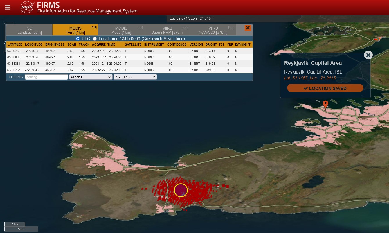
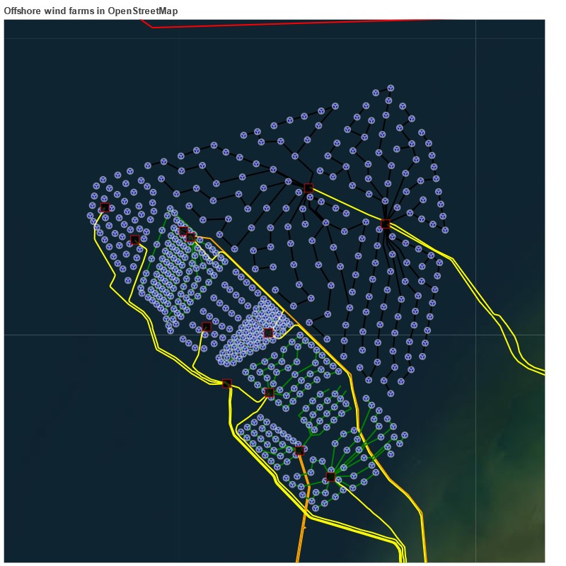
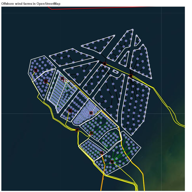
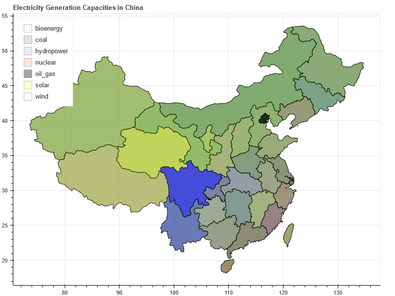
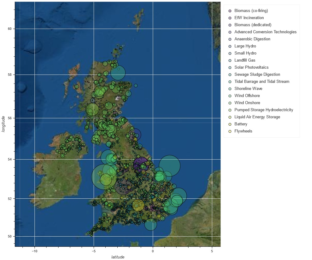
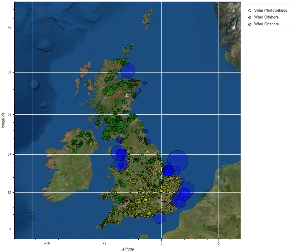
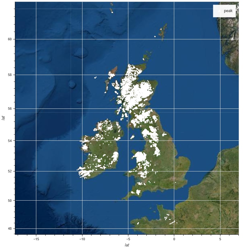
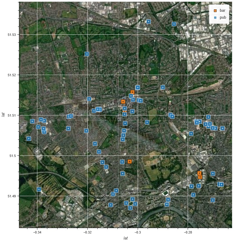
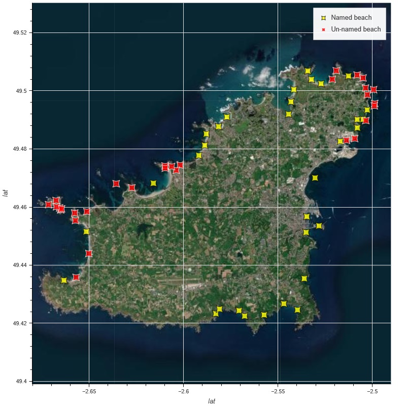
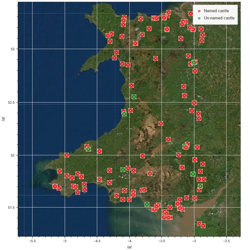
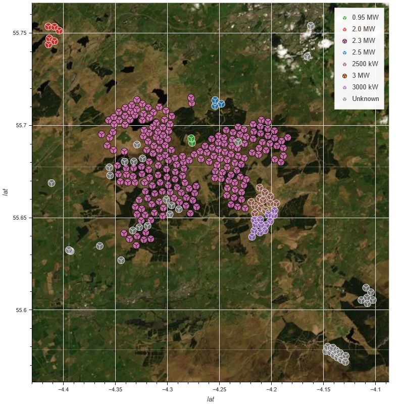
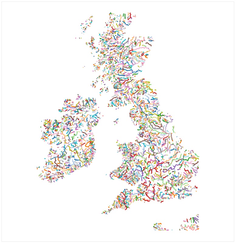
Charlie's cool plots
Click a plot to access the interactive version where available.
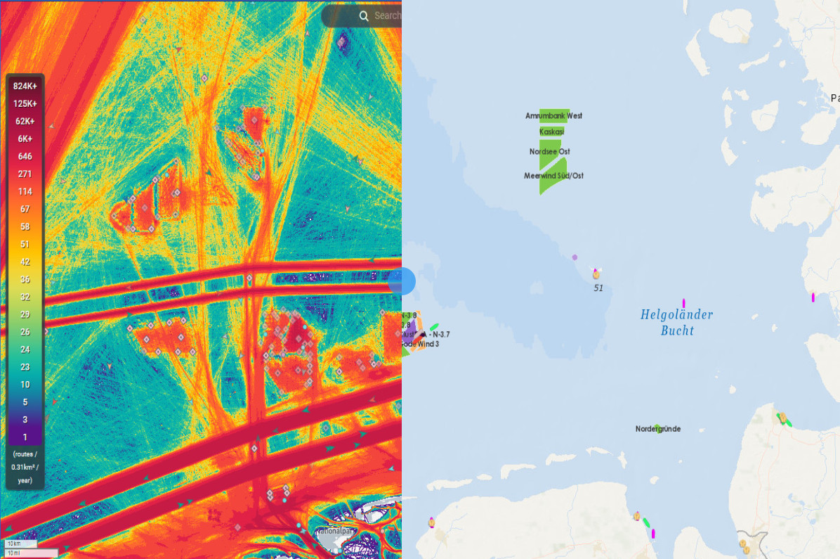
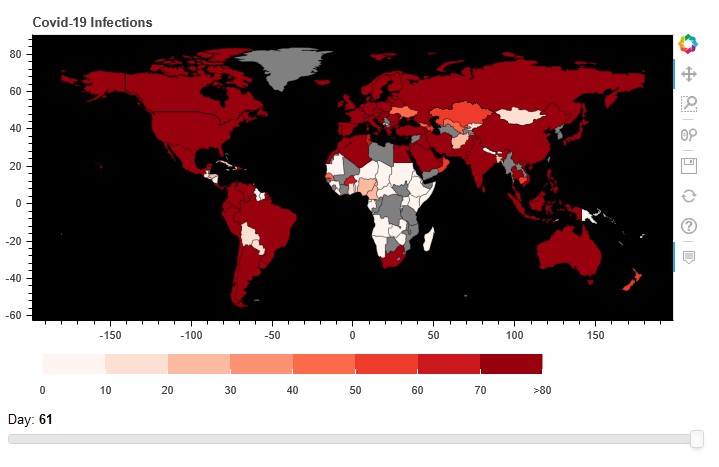
Map plots use
OpenStreetMap
data.


.jpg)